Innovation in conservation.
The first two weeks at SMSC flew by, the classes, field trips, activities, and professional development experiences are integrated so well into our schedules that each day is a different adventure.
During my third week, I attended my third professional development experience (PDE). These PDE’s are integrated into our curriculum to expose us to new experiences, scientists, researchers, etc. and their areas of expertise.
After meandering my way across campus and climbing 100ft (I measured the elevation gain), I made it to the GIS laboratory. The bi-weekly ‘meet the scientist’ talk was being given by Krishna Anujan, a researcher for Smithsonian and ForestGEO, who focuses primarily on tropical forest ecology. Her talk gave insight into her career path and her current work with ForestGEO, predicting the future of tropical forests.
During her talk, Krishna mentioned a specific tool that is being used to measure growth of trees around the world. This specific tool is called a dendrometer band, which is a metal band that is wrapped around trees. As the circumference of the tree grows, the measurements can be observed either manually or remotely and can be used to make hypotheses about how environmental conditions affect tree growth. One of the most interesting observations Krishna had during her talk was about a tree that shrunk two centimeters during a deep freeze in the winter of 2024 and returned to normal growth after the winter.
This aspect of remote-sensing in the field of ecology struck me as something that I would like to focus on in the future. Using technology in the field of conservation has many benefits. Technology can reduce the amount of time required to do tasks that require many trained individuals. The remote-sensing dendrometer bands can provide data every 15 minutes at a scale of less than a millimeter over the course of year which would be physically impossible for a human to do for an entire plot of trees. This remote sensing can also be scaled to larger use-cases such as GIS. By using satellite imagery scientists can measure a multitude of different ecological factors from tree cover to animal movement. With the ride in deep learning and large language models, remote sensing could be automated to provide even more data to assist scientists in their research.
Technology in conservation has its downsides, the drawbacks for technology lies heavily in the cost. In the future with more innovation, technology may come down in price and may be more available for research, but currently technology in conservation is growing and scientists can take advantage of innovation to assist in their research.
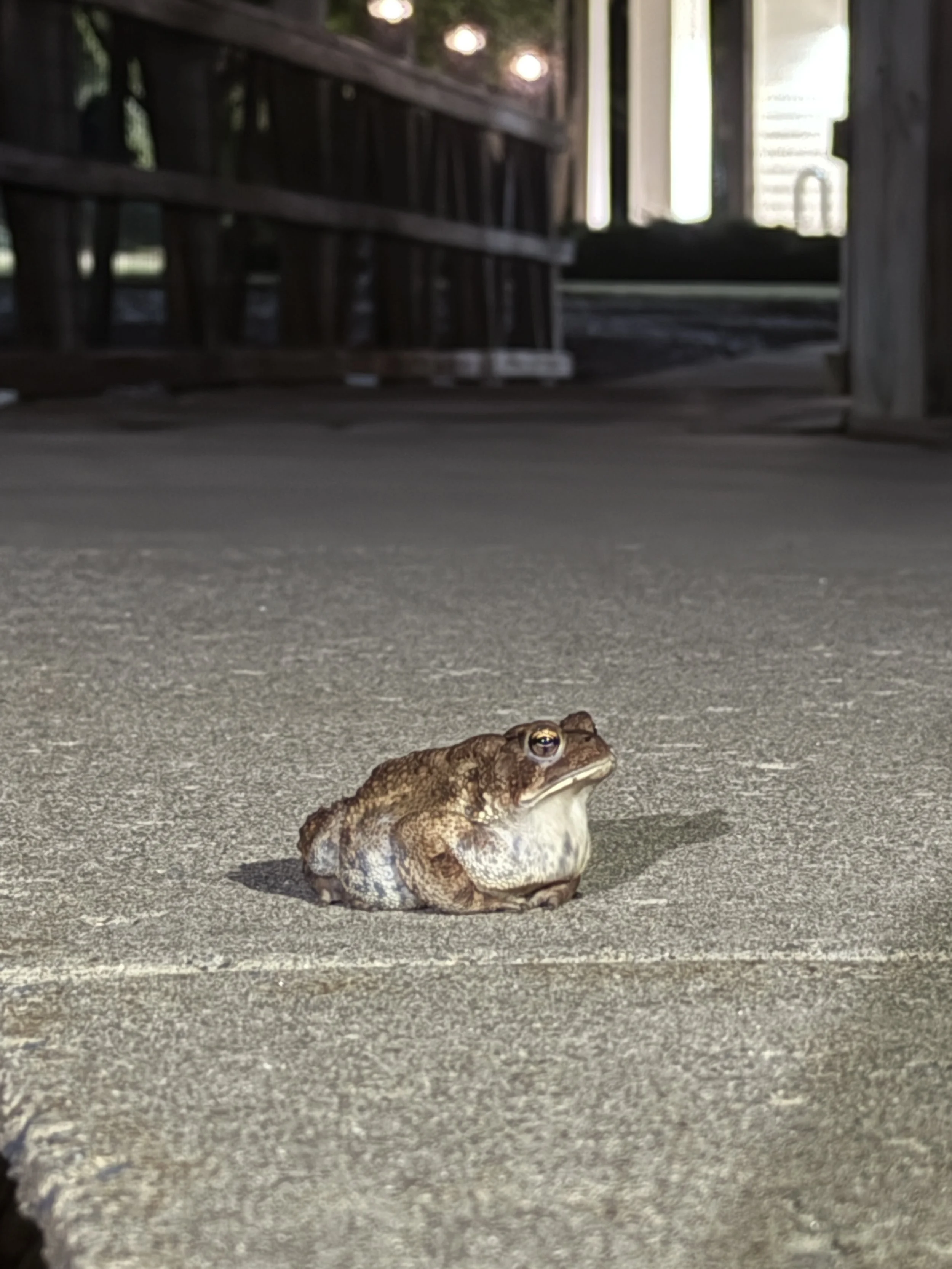
Massive toad found on campus. He was in this spot for over an hour.